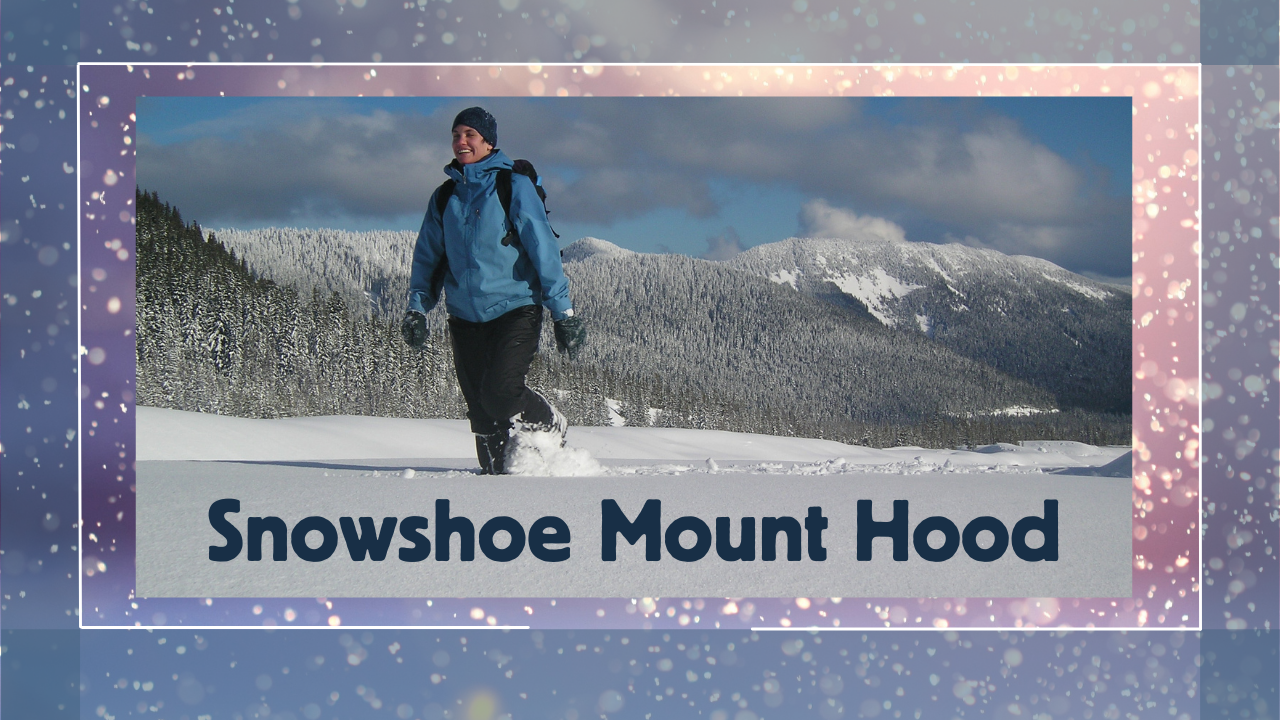
Oregon Wild's Wilderness Campaign Coordinator Erik Fernandez shares tips and suggestions regarding everything from safety to gear to picking the most scenic trails. We'll include some "Snowshoeing 101" for those new to the activity as well as some tips on locations around Mount Hood that would be applicable to all ability levels.
Maps
Friendly topo maps from USGS (free): Mirror Lake and Government Camp area, Trillium Lake, Barlow Pass, and White River, Twin Lakes area, Tamanawas Falls
Mount Hood area trail map (Not free but good)
Conditions
Snow conditions for any given trail in the Oregon Cascade Mountains can vary significantly from one day to the next. This makes knowing the conditions difficult. Here are a few tips on checking the snow conditions:
Most years there is enough snow at most snowparks by mid-December, so you shouldn't have to worry about there being enough, just what the weather is that day and surface conditions.
Check the NOAA forecast for Government Camp. If the freezing level is 4,000 ft or lower it will likely be snowing at most of the snoparks. If the freezing level is above 5,500 ft, most snoparks will have rain. 4,500-5,500 ft is going to risk a rain/snow mix. Frog Lake snopark is slightly further east and often has a slightly better chance for snow than others if it's on the edge. Mirror Lake and Tamanawas Falls snoparks are lower elevation.
Another good way to check snow conditions at snoparks is to look at the nearest webcams on TripCheck (particularly helpful around Mount Hood).
Facebook groups can be helpful, such as various Nordic Club pages (they are more geared toward crosscountry skiing than snowshoeing but often times the trails are in close proximity and share snoparks), downhill ski area sites are also good at posting conditions.