 '
'
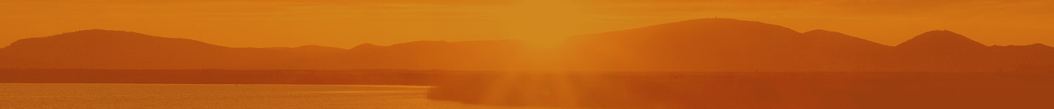
 The Fremont–Winema National Forest was formed from the 2002 merger of the Fremont and Winema National Forests. They cover territory in southern Oregon from the crest of the Cascade Range on the west past the city of Lakeview to the east. The northern end of the forest is bounded by U.S. Route 97 on the west and Oregon Route 31 on the east. To the south, the state border with California forms the boundary of the forests. Klamath Falls is the largest city in the vicinity.
The Fremont National Forest was named after John C. Fremont, who explored the area for the United States Army Corps of Engineers in 1843. It was founded in 1908, and was originally protected as the Goose Lake Forest Reserve in 1906. The name was soon changed to Fremont National Forest. It absorbed part of Paulina National Forest on July 19, 1915.
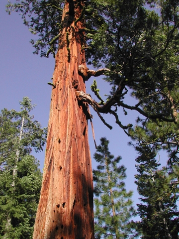
Founded in 1961, the Winema National Forest was initially protected as the Cascade Range Forest Reserve from 1893 to 1907, when it became the Cascade (South) National Forest. In 1908, it changed to the Mazama National Forest and then Crater Lake National Forest until 1932. The land was part of the Rogue River National Forest from 1932 to 1961, when it was designated the Winema National Forest. The Winema National Forest separately is the third-largest national forest that is contained entirely within one county (Klamath). The forest is named after Toby Riddle, a Modoc woman also known as "Winema". The Winema contains 113,800 acres of old growth lodgepole pine forests. The sites of two former uranium mines, the White King and Lucky Lass mines, are within the forest and are now Superfund sites.
A large part of the Forest is former Klamath Indian Reservation land. Members of the Klamath Tribe reserve specific rights of hunting, fishing, trapping, and gathering of forest materials on former reservation land within the forest.
Common recreational activities include hiking, camping, boating, backpacking, horseback riding, mountain biking, skiing, and fishing. The 50-mile Fremont National Recreation Trail runs northwest–southeast between Government Harvey Pass and Cox Pass in the forest. Bull Trout are a threatened species that is found in the Forest’s rivers and streams
There are four officially designated Wilderness areas within the Fremont–Winema National Forest. Two of these extend into neighboring national forests. The Gearhart Mountain Wilderness, Mount Thielsen Wilderness (partly in Umpqua NF and in Deschutes NF), Mountain Lakes Wilderness, and Sky Lakes Wilderness (mostly in Rogue River NF)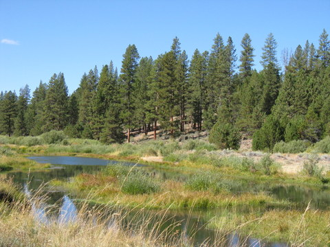
Suggested Hikes
Facts
- Est. 2002
- 2.3 million acres
- 1.2 million estimated acres of old growth forest remaining