 '
'
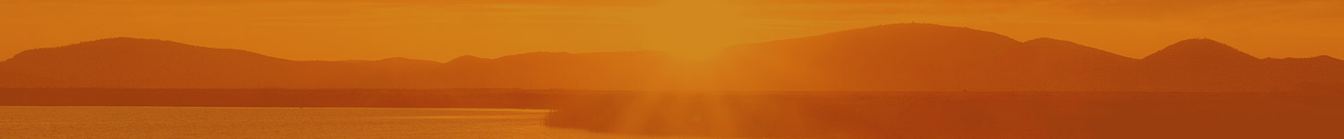
The Rogue River-Siskiyou National Forest is located in southwestern Oregon and northern California. The Forest stretches from the crest of the southern Cascades west into the Siskiyou Mountains almost reaching the ocean. Originally separate forests, the Siskiyou and the Rogue River joined administratively in 2004. The towns of Medford, Ashland, and Grants Pass have the largest populations near the National Forest.
The Rogue River area of the Forest covers 628,443 acres in five counties in southern Oregon and northern California. Jackson, Klamath, Douglas, Josephine, with Siskiyou County being the only one in California. The name of the Rogue River is a reference to the Takelma Indians, who the French-Canadian trappers called les Coquins, "the Rogues." The Rogue River National Forest was originally established in 1908 and dubbed the Crater National Forest until 1932.
The Siskiyou section of the Forest is located in parts of four counties in southwestern Oregon and northwestern California. Curry, Josephine, and Coos counties in Oregon as well as Del Norte County in California totaling 1,094,726 acres. The name Siskiyou is a Cree Indian word for bob-tailed horse yet again thanks to the French-Canadian trappers.
Three mountain ranges exist and converge in the forest: The Coast Range and Cascades connect to form the Siskiyous. Mt. Mcloughlin is the tallest point in the forest, reaching 9,495 feet. The Siskiyou mountain range is home to one of the most biodiverse ecosystems in the world. Old growth Port Orford Cedar and Douglas Fir can be found in the Copper Salmon and Red Buttes Wilderness areas. Large Ponderosa pine trees can be found in the Ashland Creek watershed. The world’s tallest pine, a ponderosa, can be found in the forest standing at 268 feet.
Eight Wilderness areas covering 565,900 are located within the forest including the Copper Salmon, Grassy Knob, Kalmiopsis, Red Buttes, Rogue–Umpqua Divide, Siskiyou, Sky Lakes, and Wild Rogue. Oregon Wild has proposed the Crater Lake Wilderness to act as a buffer around the national park. This new area would be partially in the National Forest.
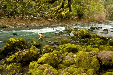
There are many recreation opportunities in the Forest with some of the more popular being white water rafting, wilderness camping, fishing, hiking, mountain biking, as well as skiing at the Mt. Ashland Ski Area. The Rogue River Trail is designated as a National Recreation Trail and follows both the upper and lower Rogue River.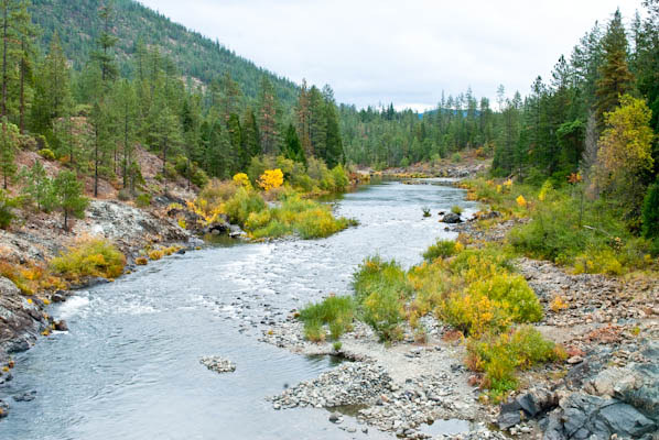
Suggested Hikes
- Rogue River Trail
- Mt. McLoughlin Trail
- Collings Mountain Trail (Aka Bigfoot trap)
- Illinois River Trail
Facts
- 1.8 million acres
- Established 2004
- 324,000 acres of Wilderness
- 38,000 acres in California
- 5 ranger districts: Ashland, Butte Falls, Grants Pass, Jacksonville, and Prospect
- 345,000 acres of old growth forest remaining