Highlights
Difficulty: Strenuous
Distance: 7.6 miles round trip
Elevation Gain: 2,400 feet
Season: Late July to October
Notes: A parking pass or permit is required.
About this Hike
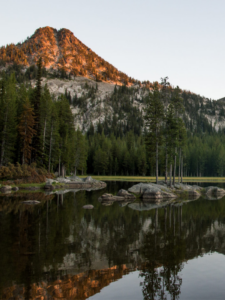
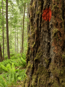
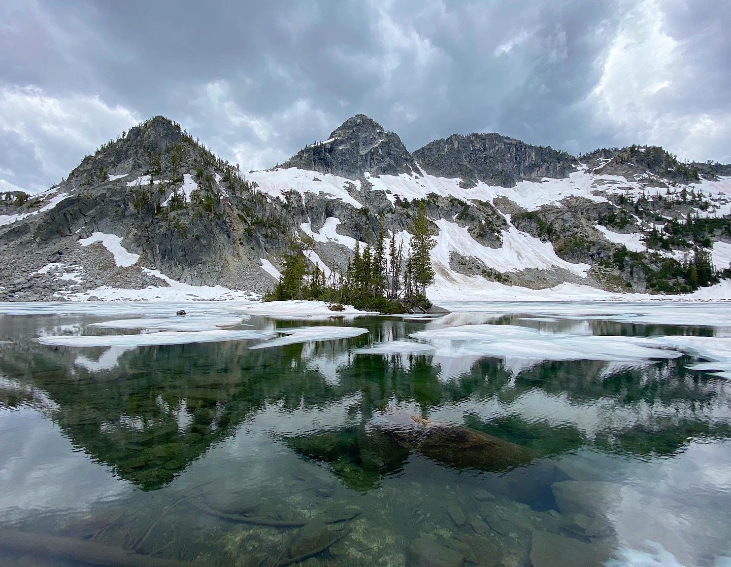
Located in the heart of the Eagle Cap Wilderness and accessed via the beautiful Lostine Wild & Scenic River corridor, Maxwell Lake is one of the few alpine lakes within the Wallowas that doesn’t require an overnight trip. This difficult, moderately steep trail crosses over Lostine River and Maxwell Creek and through rock meadows and open slopes. The first section descends briefly, and then the trail takes you 2.5 miles uphill on well-graded switchbacks. Then the trail steepens and forces you to scramble straight up a dusty slope for 0.8 miles to a pass, and then flattens out for 0.2 miles until you reach Maxwell Lake.
Getting There
From Interstate 84, take exit 261 for La Grande and follow signs for “Wallowa Lake” for 55 miles. Once you reach the town of Lostine, go straight through the center of the town onto Lostine River Road at a sign for “Lostine River Campground”. Follow this two-lane road for 12.2 paved miles to Lostine Guard Station and continue on a rougher, one-lane road for 5.6 gravel miles. Once you see a sign for “Maxwell Lake Trailhead,” turn right for 100 yards to a 5-car parking are on the right.
Take Action
Oregon Wild worked to protect the Lostine Wild & Scenic River and the forests located in this corridor. Recent problematic logging along this route illustrates some of the forest management we work to influence and what’s at stake in our National Forests. Management plan revisions in this area could lead to weakened protections for large and old trees, and fail to protect remaining intact wild lands. Take action for the Blue Mountains here.