Despite its location in the semi-arid climate of central Oregon's high desert, the Deschutes once had some of the most stable year-round flows in the world. It is also the world's largest spring-fed river. But where does the water in the Deschutes come from, and what happened to these historically stable flows?
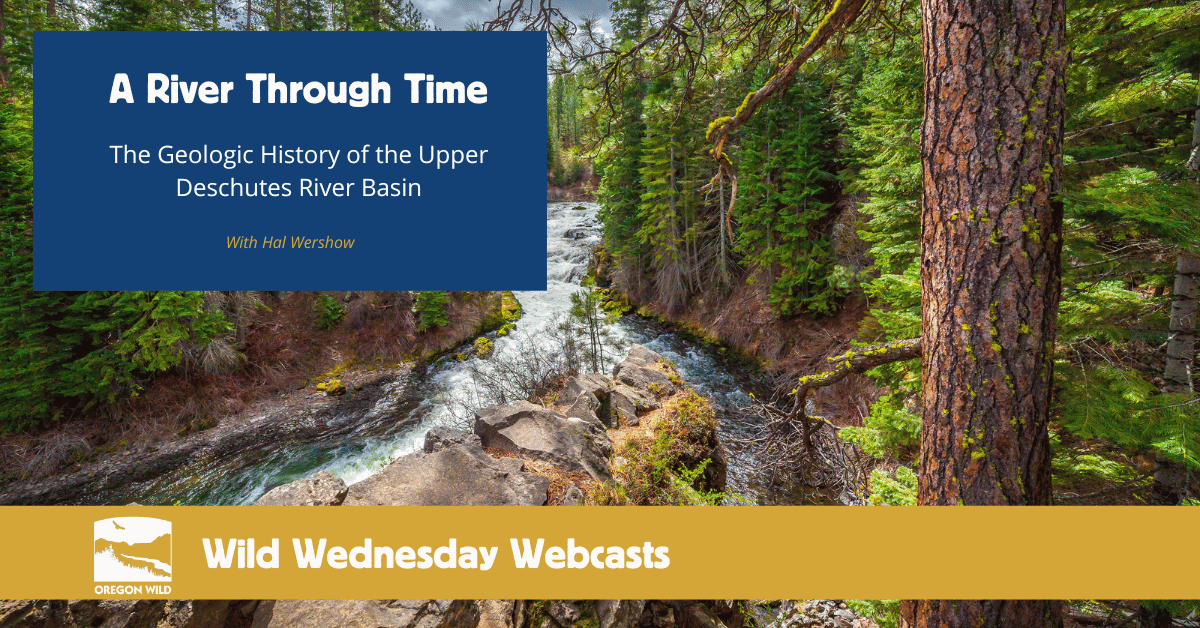
Geologist Hal Wershow takes us back in time to learn about the geologic history of the Upper Deschutes River basin–the headwaters of this iconic river. The unique hydrology and geology of this watershed helped support diverse ecosystems, sustained human civilizations since time immemorial, and made the growth of the central Oregon cities of today possible. However, with accelerating climate change and overuse, the future of the Deschutes and all that rely on it is uncertain.
Oregon Wild staff also discusses proposed legislation that would protect the headwaters and key tributaries of the Upper Deschutes basin for water quality and quantity, fish and wildlife habitat, and outdoor recreation opportunities.
Slide deck "Geology History of the Upper Deschutes River Basin
Learn More
Watershed Speaker Series (UDWC)
Take Action
Send a letter to Wyden and Merkley on the River Democracy Act